Intense instability is expected to prevail in the new week in much of the country, according to forecasts of the National Observatory of Athens / meteo.gr. Thunderstorms will occur which in places will be accompanied by hail. On the occasion of this development, meteorologists explain where the hailstorms are attributed at this time.
According to experts, hail is a common phenomenon in our country in late spring and early summer as relatively cold air masses from northern Europe often find their way south. The presence of cold gas masses in the atmosphere in combination with the intense heating of the soil during this period, create conditions of instability. In the presence of adequate amounts of moisture, instability often leads to thunderstorms, some of which produce hail.
Hail begins to form in storms under special conditions of intense instability and change of wind speed at height that creates turbulence within the clouds. Consecutive upward and downstream currents lead it to different heights as quartz granules grow when water vapor condenses and freezes on them.
Many times the instability itself is quite intense, and when the brief wind is weak, strong up and down currents are created again in the storms that favor the production of hail, as will happen in the coming days in Greece.
At the National Observatory of Athens / meteo.gr from 2020 began the effort to develop forecast products for hail, which is the most difficult parameter (form of precipitation) in the weather forecast.
Using a number of atmospheric parameters in supercomputer computing algorithms, the National Observatory is now able to predict with relative accuracy the maximum amount of hail that is going to hit an area over the next 48 hours.
Latest News

Airbnb: Greece’s Short-Term Rentals Dip in March Amid Easter Shift
Data from analytics firm AirDNA shows that average occupancy for short-term rentals dropped to 45% in March, down from 49% the same month last year.

Easter Week in Greece: Holy Friday in Orthodoxy Today
At the Vespers service on Friday evening the image of Christ is removed from the Cross and wrapped in a white cloth

Meloni and Trump Meet in Washington, Vow to Strengthen Western Ties
“I am 100% sure there will be no problems reaching a deal on tariffs with the EU—none whatsoever,” Trump stressed.

ECB Cuts Interest Rates by 25 Basis Points in Expected Move
The ECB’s Governing Council opted to lower the deposit facility rate—the benchmark for signaling monetary policy direction—citing an updated assessment of inflation prospects, the dynamics of underlying inflation, and the strength of monetary policy transmission.

Current Account Deficit Fell by €573.2ml Feb. 2025: BoG
The improvement of Greece’s current account was mainly attributed to a more robust balance of goods and, to a lesser extent, an improved primary income account

Hellenic Food Authority Issues Food Safety Tips for Easter
Food safety tips on how to make sure your lamb has been properly inspected and your eggs stay fresh.

Greek Kiwifruit Exports Smash 200,000-Ton Mark, Setting New Record
According to data by the Association of Greek Fruit, Vegetable and Juice Exporters, Incofruit Hellas, between September 1, 2024, and April 17, 2025, kiwifruit exports increased by 14.2%.

Easter Tourism Boom: Greece Sees 18.3% Surge in Hotel Bookings
Among foreign markets, Israel has emerged as the biggest growth driver, with hotel bookings more than doubling—up 178.5% year-on-year.

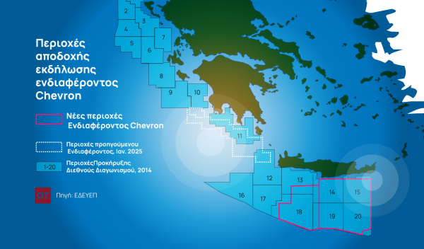
Greece to Launch Fast-Track Tender for Offshore Hydrocarbon Exploration
Last week, Papastavrou signed the acceptance of interest for the two Cretan blocks, while similar decisions regarding the two Ionian Sea blocks were signed by his predecessor

American-Hellenic Chamber of Commerce to Open Washington D.C. Branch
AmCham's new office aims aims to deepen U.S.-Greece economic ties and promote investment and innovation between the two countries


![Πλημμύρες: Σημειώθηκαν σε επίπεδα ρεκόρ στην Ευρώπη το 2024 [γράφημα]](https://www.ot.gr/wp-content/uploads/2025/04/FLOOD_HUNGRY-90x90.jpg)


![Airbnb: Πτωτικά κινήθηκε η ζήτηση τον Μάρτιο – Τι δείχνουν τα στοιχεία [γράφημα]](https://www.ot.gr/wp-content/uploads/2024/07/airbnb-gba8e58468_1280-1-90x90.jpg)


![Airbnb: Πτωτικά κινήθηκε η ζήτηση τον Μάρτιο – Τι δείχνουν τα στοιχεία [γράφημα]](https://www.ot.gr/wp-content/uploads/2024/07/airbnb-gba8e58468_1280-1-600x500.jpg)


 Αριθμός Πιστοποίησης