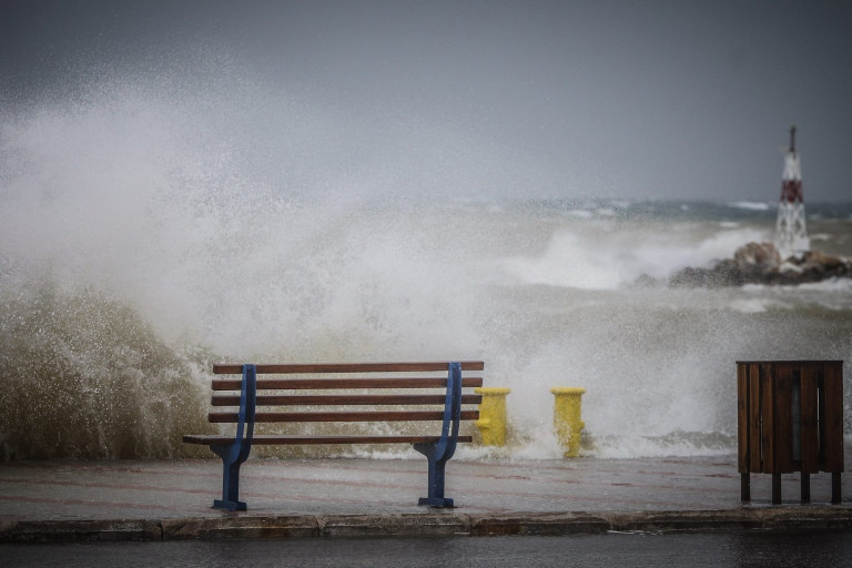
The weather becomes harsher in the following days, with meteorologists talking about “express” bad weather conditions. The meteorologist, Mr. Sakis Arnaoutoglou, talks about a jet stream that starts with gusts of 240km/h in its inside and will be weakened as it moves east.
In particular, he states in a post: “It is not something that we every day in the forecast maps! We are talking about a jet stream, the gusts of which will reach 240km/h in its inside. This jet stream will be at 5,000 meters above the sea level, at Sunday night (6/2), and it will move from the east of England to the Netherlands!
Moving east and gradually weakening, this jet stream is supposed to bring about an EXPRESS weather deterioration late at night, first to the Northern Greece and, on Tuesday 8/2, in most parts of our country, causing very strong to severe north winds in some places, not only in sea but also on land, with gusts that may locally exceed 9-10 Beaufort, as I mentioned in the weather reports of ERT3 channel, in the previous days “.
Strong winds in Thessaloniki
In another post, Mr. Sakis Arnaoutoglou states: “The atmospheric pressure diving on Monday is impressive! The atmospheric pressure in Thessaloniki is expected to drop to almost 20hpa in about 36 hours! In similar cases, in the past, in Thessaloniki, there were cases where gusts reached 80plus kilometers per hour (i.e. 9plus Beaufort) !!!”
Latest News

Airbnb: Greece’s Short-Term Rentals Dip in March Amid Easter Shift
Data from analytics firm AirDNA shows that average occupancy for short-term rentals dropped to 45% in March, down from 49% the same month last year.

Easter Week in Greece: Holy Friday in Orthodoxy Today
At the Vespers service on Friday evening the image of Christ is removed from the Cross and wrapped in a white cloth

Meloni and Trump Meet in Washington, Vow to Strengthen Western Ties
“I am 100% sure there will be no problems reaching a deal on tariffs with the EU—none whatsoever,” Trump stressed.

ECB Cuts Interest Rates by 25 Basis Points in Expected Move
The ECB’s Governing Council opted to lower the deposit facility rate—the benchmark for signaling monetary policy direction—citing an updated assessment of inflation prospects, the dynamics of underlying inflation, and the strength of monetary policy transmission.

Current Account Deficit Fell by €573.2ml Feb. 2025: BoG
The improvement of Greece’s current account was mainly attributed to a more robust balance of goods and, to a lesser extent, an improved primary income account

Hellenic Food Authority Issues Food Safety Tips for Easter
Food safety tips on how to make sure your lamb has been properly inspected and your eggs stay fresh.

Greek Kiwifruit Exports Smash 200,000-Ton Mark, Setting New Record
According to data by the Association of Greek Fruit, Vegetable and Juice Exporters, Incofruit Hellas, between September 1, 2024, and April 17, 2025, kiwifruit exports increased by 14.2%.

Easter Tourism Boom: Greece Sees 18.3% Surge in Hotel Bookings
Among foreign markets, Israel has emerged as the biggest growth driver, with hotel bookings more than doubling—up 178.5% year-on-year.

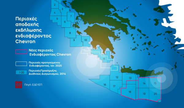
Greece to Launch Fast-Track Tender for Offshore Hydrocarbon Exploration
Last week, Papastavrou signed the acceptance of interest for the two Cretan blocks, while similar decisions regarding the two Ionian Sea blocks were signed by his predecessor

American-Hellenic Chamber of Commerce to Open Washington D.C. Branch
AmCham's new office aims aims to deepen U.S.-Greece economic ties and promote investment and innovation between the two countries


![Πλημμύρες: Σημειώθηκαν σε επίπεδα ρεκόρ στην Ευρώπη το 2024 [γράφημα]](https://www.ot.gr/wp-content/uploads/2025/04/FLOOD_HUNGRY-90x90.jpg)


![Airbnb: Πτωτικά κινήθηκε η ζήτηση τον Μάρτιο – Τι δείχνουν τα στοιχεία [γράφημα]](https://www.ot.gr/wp-content/uploads/2024/07/airbnb-gba8e58468_1280-1-90x90.jpg)


![Airbnb: Πτωτικά κινήθηκε η ζήτηση τον Μάρτιο – Τι δείχνουν τα στοιχεία [γράφημα]](https://www.ot.gr/wp-content/uploads/2024/07/airbnb-gba8e58468_1280-1-600x500.jpg)


 Αριθμός Πιστοποίησης