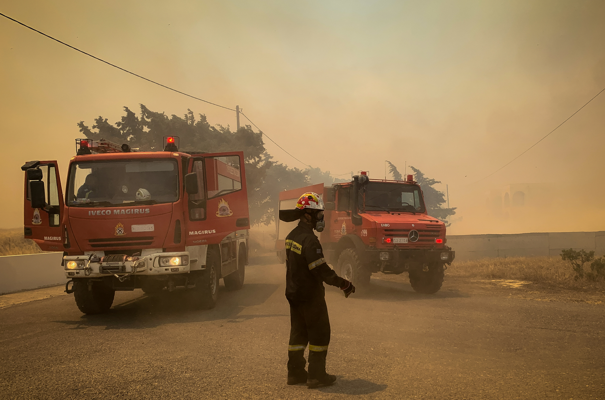
The highest levels of burned areas from forest fires in the last thirteen years, at the end of July, was recorded by the award-winning FireHub service system of the BEYOND Operational Unit of the Institute for Astronomy, Astrophysics, Space Applications, and Remote Sensing
Since Saturday, July 15, the Fire Dept. has been called to intervene in sixty-one (61) serious forest fire incidents. Thirteen (13) of them were large or even very large, while in two cases, in Dervenochoria and Rhodes, the fires continued to spread and develop for several days.
An endless fiery nightmare in Rhodes and Corfu
The BEYOND Business Unit of Institute for Astronomy, Astrophysics, Space Applications, and Remote Sensing having developed the award-winning FireHUB service system, offers a range of services for the prediction of fire risk, the monitoring of active fronts in real and near-real time as well as the detailed assessment of burned areas.
Based on data collected by FireHUB and the European Forest Fire Information System (EFFIS) (Table 1), it appears that we are in for a very difficult year for forest fires. Studying the total burned areas in our country, from 2010 to 2023, it was found that the forest fires of the last two weeks have caused a significant increase in burned areas, marking the highest levels recorded at the end of July, in the last 13 years.
In total, around 40,000 hectares have burned, an area almost twice that of last year (2022) and three times that of 2020. The five (5) largest fires that have occurred this year in Greece are the following: On 17/07 three (3) fires broke out in the wider area of Attica: At 12:27 in a forest area in Kouvara Attica, at 14:38 in Kallithea Loutraki and at 17:08 the big fire started in Dervenochoria of Boeotia, which remained active until 20/07. At 21:00 local time, the image of smoke dispersion from these three (3) fires is typical, while it appears that a large volume of microparticles is transported to the southwest (Figure 1). On 18/07 at 19:11 the start of the forest fire was recorded in the area of ‘Embona in Rhodes, while on 23/07 a forest fire broke out in Corfu. Both (2) of these fires remain active as of this time (07:21 AM, 7/25/2023)
Below are FireHUB’s services in the case of the ongoing Rhodes fire. According to the daily risk map, the fire that broke out in Rhodes was in an area that had been classified as a very high risk area for 18/07/2023. 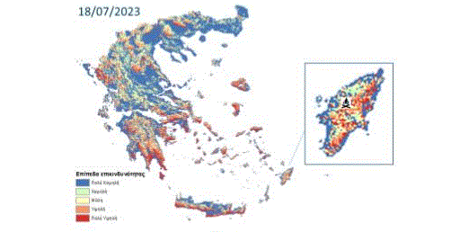
The event was detected by the Real Time Fire Monitoring service and was continuously monitored every 5 minutes on the hour. 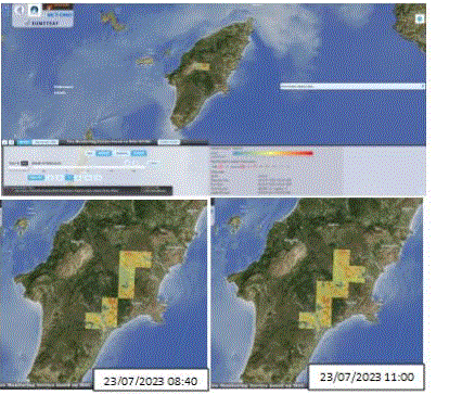
The Forest Fire Information System (FFIS) platform of the BEYOND Operational Unit of IAADET/EAA recorded the evolution of active outbreaks in Rhodes (Figure 6), for the period 18/07/2023 – 25/7/2023 after processing satellite images of medium analysis. 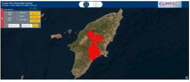
The burned area of the fire up to 23/07/2023 and time 12:27, was estimated at approximately 107,170 acres/10,717 hectares. Characteristically, after mapping, a number of new active foci were noted (Figure 7) to the west and east of the burned area, indicating that the foci are scattered and growing rapidly. It is estimated that after the end of the fire, more than 10% of the island will have burned, while a large part of the burned area is within the Natura network. 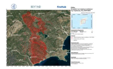
Latest News
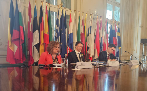
EU Praises Greece’s RRF Progress as Revised Recovery Plan Nears Completion
Athens is preparing to submit its revised “Greece 2.0” Recovery and Resilience Plan after Easter, with a slight delay from the initial timeline but with the European Commission’s approval.

Greek €200M 10Y Bond to be Issued on April 16
The 3.875% fixed-interest-rate bond matures on March 12, 2029, and will be issued in dematerialized form. According to PDMA, the goal of the re-issuance is to meet investor demand and to enhance liquidity in the secondary bond market.
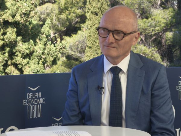
German Ambassador to Greece Talks Ukraine, Rise of Far Right & Tariffs at Delphi Economic Forum X
Commenting on the political developments in his country, the German Ambassador stressed that it was clear the rapid formation of a new government was imperative, as the expectations across Europe showed.
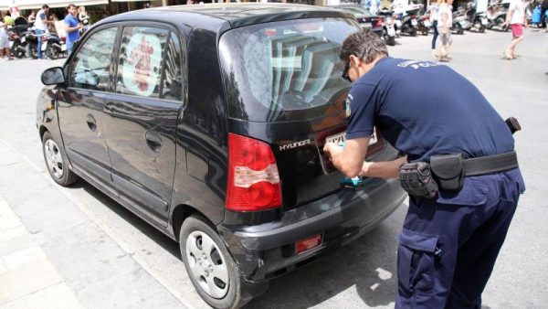
Athens to Return Confiscated License Plates Ahead of Easter Holiday
Cases involving court orders will also be excluded from this measure.
Servicers: How More Properties Could Enter the Greek Market
Buying or renting a home is out of reach for many in Greece. Servicers propose faster processes and incentives to boost property supply and ease the housing crisis.

Greek Easter 2025: Price Hikes on Lamb, Eggs & Sweets
According to the Greek Consumers’ Institute, hosting an Easter dinner for eight now costs approximately €361.95 — an increase of €11 compared to 2024.

FM Gerapetritis Calls for Unified EU Response to Global Crises at EU Council
"Europe is navigating through unprecedented crises — wars, humanitarian disasters, climate emergencies," he stated.

Holy Week Store Hours in Greece
Retail stores across Greece are now operating on extended holiday hours for Holy Week, following their Sunday opening on April 13. The move aims to accommodate consumers ahead of Easter, but merchants remain cautious amid sluggish market activity.

Green Getaway Ideas for Easter 2025 in Greece
Celebrate Easter 2025 in Greece the sustainable way with eco-farms, car-free islands, and family-friendly getaways rooted in nature and tradition.

Civil Protection Minister Details Summer Firefighting Plans at Delphi Forum
At the 10th Delphi Economic Forum, Minister of Climate Crisis and Civil Protection Yiannis Kefalogiannis discussed Greece's plans for the upcoming fire season.


![ΤτΕ: Στα 4,1 δισ. ευρώ το ταμειακό πρωτογενές πλεόνασμα το α΄ τρίμηνο [πίνακας]](https://www.ot.gr/wp-content/uploads/2025/04/thumbnail_stocks_agores_merismata_xrimatistirio_shutterstock_-600x414.jpg)





 Αριθμός Πιστοποίησης