


Intense weather phenomena, with strong thunderstorms, lightning, and hail are anticipated in many of Greece’s regions, putting the country on red alert again today for more severe weather.
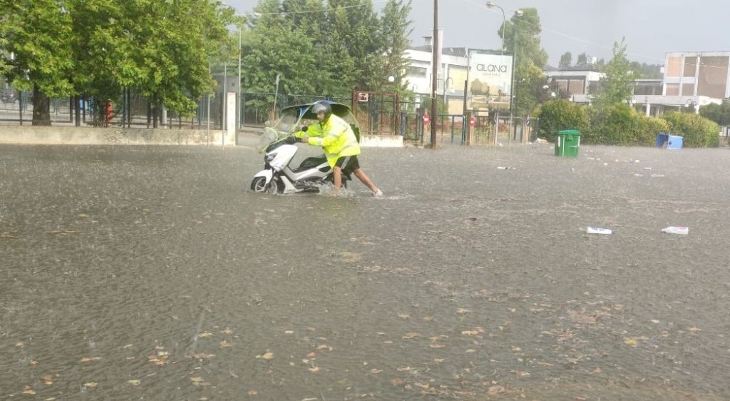
Yesterday, August 19th, Greece saw heavy flooding and violent lightning storms, particularly in the northeast parts of Greece, which led to power outages, flooded homes, and other damage to property and assets.
Greece’s Civil Protection authority is on high alert for the possibily of similar issues again today.
Fortunately, a 112 emergency service message had been sent to residents of Igoumenitsa, Patras, Corfu and Ioannina yesterday, notifying them of the risk of extreme weather well in advance and informing them to expect it to continue into Tuesday.
Today’s weather bulletin from EMY again focuses on the Ionian Islands and surrounding seas, central and eastern Macedonia, and possibly the northern parts of Thessaly towards the evening.
According to EMY, today local rain and thunderstorms are expected in the western, central, and northern regions, which will be accompanied by a high frequency of lightning and local hailstorms.
Tuesday’s Weather Forecast
Heavy rains and thunderstorms are expected in the morning hours in the northern Ionian Sea, western Stera and Epirus.
Macedonia will also see rain in the central and eastern parts and the northern part of Thessaly, which will begin to taper off by the afternoon.
In the rest of Greece’s regions, there will be longer periods of sunshine, with only local showers and some thunderstorms in the mountainous areas expected at midday and in the afternoon.
The weather will improve by the evening, except in the Ionian Sea where moderate rain will continue overnight, and in central-eastern Macedonia where thunderstorms will occur until the early morning hours of Wednesday.
The temperature will reach 30–32 degrees Celsius in the northwestern parts at midday, locally 36–37 degrees in the eastern and southern mainland, and up to 34–37 degrees in the Aegean.
Winds will be westerly and southerly across the seas, between 3–5 Beaufort and up to 6 Beaufort in the southern sea areas. They are expected to be variable and milder in the northern and eastern Aegean.
In Attica, sunshine will prevail with scattered clouds at midday, slightly thicker in the western parts of the region, with a possibility of local showers in the mountainous areas of western Attica.
The temperature will reach up to 35 degrees, with southerly winds at 3–5 Beaufort.
In Thessaloniki, unsettled weather is expected from midday onwards, with rain and occasionally strong thunderstorms. These phenomena will continue late into the night, until dawn on Wednesday.
The temperature will reach up to 32 degrees, with variable winds at 3–4 Beaufort, with strong gusts during the weather events.
Source: tovima.com